Expeditions

The road ahead.

Long-form journeys, smaller missions, and the places that only reveal themselves after the pavement ends.

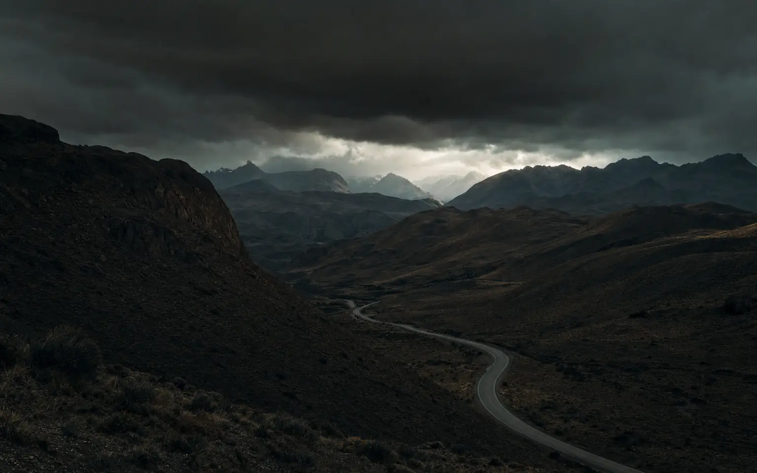
An empty two-lane highway winding through vast arid Andean mountain ranges under a storm sky Flagship · In development

Pan-American Highway

From the far north to the southern end of the Americas. A multi-country expedition told through roads, landscapes, communities, mechanical challenges, and the people who make the journey matter.

Target2027
Distance~19,000 miles
Countries14+
FormatLong-form series
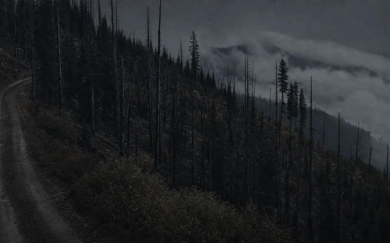
A narrow dirt road cutting along a steep forested ridge above a fog-filled valley in remote Idaho Mini-01 · First mission

Magruder Corridor

A remote backcountry route through Idaho with a story rooted in wilderness, history, and one of the longest undeveloped corridors in the lower 48. Remote Idaho. One road. No easy exit.

StatusFirst mission
Distance101 miles
SeasonSummer window
FormatField film
Paper maps, a compass and a notebook laid out on a truck tailgate at night, lit by a headlamp Coming next

More roads. More stories.

Additional mini expeditions will be announced as routes, access, seasons, and production schedules are locked in. If you want to know first, the journal is the place to watch.

AnnouncementsJournal
Partner slotsOpen

01 / Route selection

How a route earns a season.

We do not pick routes because they photograph well. A road makes the slate when it clears three tests, in this order.

It has to be hard enough to matter. Not hard for the sake of a thumbnail — hard in a way that produces real decisions. Fuel range, a weather window that closes, a section with no exit once you commit. If nothing about the route can go wrong, nothing about the film will be interesting.

It has to have a story that predates us. Every route we run carries history — the people who built the road, the reason it exists, what was there before. That layer is what separates an expedition film from a drone reel.

It has to be legal, and it has to stay open. We work on public land, which means seasonal closures, wilderness boundaries, and travel-management rules are part of the plan rather than an obstacle to it. We do not cut new track, and we do not film anywhere motorized travel is prohibited.

02 / Magruder Corridor

Why the first mission is 101 miles long.

The Magruder Road Corridor — Forest Road 468 — runs 101 single-lane, mostly unimproved miles between Elk City, Idaho and Darby, Montana. It exists because of the 1980 Central Idaho Wilderness Act, which left one road threading between the 1.2-million-acre Selway–Bitterroot Wilderness to the north and the 2.3-million-acre Frank Church–River of No Return Wilderness to the south. It is the only place in the lower 48 where you can drive a corridor between two wilderness areas that size.

The numbers are the reason it works as a first mission. Average speed is 12–15 mph. Red River to Darby takes eight to ten hours without stops, which the Forest Service recommends splitting across two days. There are no services for 117 miles — no fuel, no water, no cell coverage. Snow starts falling in early October and lingers into July, so the road generally opens through to Montana in early to mid-July and closes with snow in late October. Mid-September through mid-November is Idaho hunting season, and the corridor gets busy.

That is a genuinely narrow window on a route with no bail-out, three hours from the nearest shop, in a truck carrying camera gear. It is exactly the scale of problem we want to solve before we solve it fourteen countries deep. Conditions change without notice, so we call the Red River Ranger District before every attempt rather than trusting last year's dates.

03 / Pan-American Highway

Three years of preparation, one route.

The Pan-American is targeted for 2027, and the gap is deliberate. Roughly 19,000 miles and 14-plus countries is not a trip you improvise. Between now and departure, the mini expeditions are the test bench: every system that goes south has to have already failed somewhere in Idaho or Montana first, where failing is cheap.

The work that is actually happening right now is unglamorous. Carnet and border documentation research. Deciding what the vehicle can carry without becoming something that breaks under its own weight. Figuring out how to move footage off a truck in places without reliable upload. Learning which spares are worth the space when the nearest parts counter is a week away. Language. Insurance. Fuel quality. The Darién Gap, which no road crosses, and the shipping that gets around it.

We publish that process as it happens in the journal, including the parts that do not work. The planning is the story as much as the driving is.

Route questions

What people ask about the routes.

When is the Magruder Corridor open?

The Forest Service reports the road generally opens through to Montana in early to mid-July and closes with snow in late October. Snow begins falling in early October and can persist into July, and early storms or wildfire can make it impassable at any time. Call the Red River Ranger District at (208) 842-2245 or the West Fork Ranger District at (406) 821-3269 for current conditions before you commit — last year's dates are not a plan.

How long does the Magruder Corridor take to drive?

Eight to ten hours from Red River to Darby without rest stops, at an average of 12–15 mph across 101 miles. The Forest Service recommends making it a two-day trip with a night at one of the dispersed or primitive campsites. Plan for longer if you are filming, because you will stop constantly.

Do you need a 4x4 for the Magruder Corridor?

High clearance is the real requirement; four-wheel drive is recommended and becomes necessary when the road is snow-covered or muddy. The more important preparation is self-sufficiency: there are no services for 117 miles, so a full tank, a usable spare, water, a saw for downed trees across the road, and recovery gear matter more than tire size.

Is there cell service on the route?

No. Treat the entire corridor as no-coverage and carry satellite communication. This is also why we do not travel it alone — a second vehicle is the only recovery plan that works when nobody can call for one.

Can brands come along on an expedition?

Yes, and the earlier the better. Partners who join during planning get their product tested through the whole build-and-shakedown cycle instead of appearing in a single shot near the end. Start on the partnerships page.

How do you follow along?

The journal is where planning, build progress, and route notes get published first, and it has an RSS feed. Finished films land on the Taylor Overland channel.

Built together

Come along for the next route.

Brands that join early become part of the planning, not an afterthought in the edit.

Start a conversation